Vocabulary:
- confront /kuhn-FRUHNT/
- pose /pohz/
- attribute /uh-TRIB-yoot/
- ongoing /ON-goh-ing/
- vulnerable /VUHL-ner-uh-buhl/
[verb] – to face, meet, or deal with a difficult situation or person
The team must confront the challenges of a tight deadline and limited resources to complete the project.
[verb] – to cause something, especially a problem or difficulty
The icy road conditions pose a danger to drivers.
[verb] – to say or think that something is the result of a particular thing
The success of the project was largely attributed to the dedication and hard work of the team members.
[adjective] – continuing to exist or develop, or happening at the present moment
The company is conducting ongoing research to improve the efficiency of their product.
[adjective] – able to be easily physically or mentally hurt, influenced, or attacked
The coastal communities are vulnerable to the impacts of climate change, including rising sea levels and increased storm activity.
Article reading:
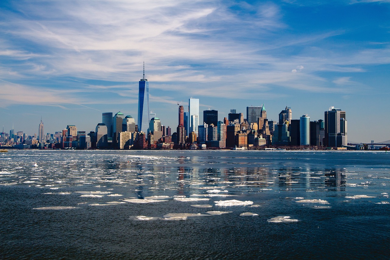
Sinking cities are a global concern, as seen in Jakarta’s rapid subsidence, necessitating the relocation of its capital. Analyzing 99 cities worldwide, researchers investigated the influence of urban building loads on coastal land subsidence. Through computer modeling, satellite data, and GPS measurements, they estimated sinking rates and identified vulnerable areas. New York City, with its densely populated infrastructure in low-lying zones, is particularly susceptible. Understanding the causes and consequences of landscape changes is crucial for effective preparation and mitigation strategies against future sea level rise.
Discussion Questions:
- Have you noticed any signs or impacts of sinking or rising sea levels in your area?
- Have you witnessed any extreme rainfall events, such as hurricanes or nor’easters, in your region? How did they impact you or your community?
- Do you believe that high-rise structures contribute to the sinking process in New York City?
- Do you believe that sinking cities, such as Jakarta, pose a global concern? Why or why not?
- Based on the information provided, what recommendations would you propose to address the sinking issues in New York City and minimize the impact of rising sea levels?
Summarization
Describe:
- phenomenon
- worldwide
- satellite
- infrastructure
- crucial
Listening: