Vocabulary:
I will read the words, meanings, and sample sentences. Then, repeat after me.
- grapple /GRAP-uhl/
- flash drought /flash drout/
- irregularity /ih-reg-yuh-LAR-i-tee/
- gradient /GREY-dee-uhnt/
- humidity /hyoo-MID-i-tee/
[verb] – to struggle with or try to overcome something difficult
Students often grapple with complex math problems during exams.
[noun] – a rapid onset of drought conditions that can occur in a matter of weeks
The region experienced a flash drought that severely affected local farms.
[noun] – the quality of being irregular; something that is not regular in form or pattern
The irregularity in train schedules caused many passengers to miss their connections.
[noun] – a rate of inclination; a slope or a change in a quantity over distance
The gradient of the hill made it challenging for cyclists to ascend.
[noun] – the amount of water vapor present in the air
High humidity can make summer temperatures feel much hotter than they are.
Article reading:
Please read the whole article. Then, I will check your pronunciation and intonation.
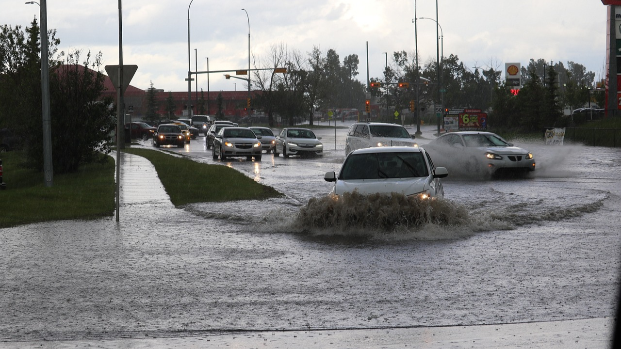
This autumn, Europe is grappling with unusually severe weather, as seen in Spain’s recent catastrophic floods in Valencia. The event, which unfolded in October, significantly impacted the region, with floodwaters disrupting transportation, inundating homes, and leaving vehicles scattered along coastal areas. Reports indicate that the lives of at least 95 people were directly affected. Meanwhile, the United States is experiencing a starkly different pattern: a “flash drought” across many regions, due to exceptionally dry October conditions. Climate researchers have identified two main contributors to these extremes: rising air temperatures, which increase atmospheric moisture capacity, and irregularities in the jet stream—a critical wind current that influences global weather and, according to meteorologists, may now be moving slower, thereby prolonging extreme weather in certain areas.
Climate experts believe that a phenomenon called Depresión Aislada en Niveles Altos (DANAs) influenced Valencia’s situation, trapping moist air within a low-pressure system, leading to sustained rain in the area. Meteorologists like Jennifer Francis from the Woodwell Climate Research Center attribute such extreme shifts in weather to a warming Arctic, which reduces temperature gradients between high and mid-latitudes and potentially disrupts the jet stream’s stability. Additionally, climate models suggest that warmer seas, like the Mediterranean this summer, contribute to higher humidity, which can then be released in intense rainfall. Scientists continue to investigate these links, but consensus holds that human-induced climate change is amplifying the severity of extreme weather, underscoring the pressing need for global climate adaptation and mitigation strategies.
Climate experts believe that a phenomenon called Depresión Aislada en Niveles Altos (DANAs) influenced Valencia’s situation, trapping moist air within a low-pressure system, leading to sustained rain in the area. Meteorologists like Jennifer Francis from the Woodwell Climate Research Center attribute such extreme shifts in weather to a warming Arctic, which reduces temperature gradients between high and mid-latitudes and potentially disrupts the jet stream’s stability. Additionally, climate models suggest that warmer seas, like the Mediterranean this summer, contribute to higher humidity, which can then be released in intense rainfall. Scientists continue to investigate these links, but consensus holds that human-induced climate change is amplifying the severity of extreme weather, underscoring the pressing need for global climate adaptation and mitigation strategies.
Discussion Questions:
I will read each question. Then, please answer them.
- Have you ever experienced a drought in your area? If so, how did it affect your daily life? If not, how do you think it would impact your community?
- Have you participated in any activities related to water conservation? If so, what were they? If not, would you be interested in joining such efforts?
- Do you agree that technology can significantly aid in predicting droughts?
- What long-term impacts could flash droughts have on food security in affected regions?
- In what ways can education contribute to better awareness and preparation for drought events?
Summarization
Please summarize the whole article using your own words and expressions. You will have one minute to prepare before you answer.
Describe:
Please explain the definition of each word listed below based on your understanding. You can provide example sentences if needed.
- autumn
- meteorologist
- temperature
- consensus
- strategy