Vocabulary:
I will read the words, meanings, and sample sentences. Then, repeat after me.
- pronounced /pruh-NOUNST/
- conduit /KON-dwit/
- compromised /KOM-pruh-mahyzd/
- seismologist /sahyz-MOL-uh-jist/
- precedent /PRES-i-duhnt/
[adjective] – very noticeable or certain
The difference between the two paintings was pronounced, making it easy to compare.
[noun] – a way of connecting one thing to another, or a pipe that carries liquid or wires
The internet serves as a conduit for fast communication between people worldwide.
[adjective] – weakened or made worse
The compromised bridge was closed to traffic due to structural damage from the earthquake.
[noun] – a scientist who studies earthquakes and the movement of the Earth’s crust
The seismologist examined the data to determine the earthquake’s exact location.
[noun] – an action, situation, or decision that has happened before and can be used as an example
The court’s decision set a precedent for future legal cases.
Article reading:
Please read the whole article. Then, I will check your pronunciation and intonation.
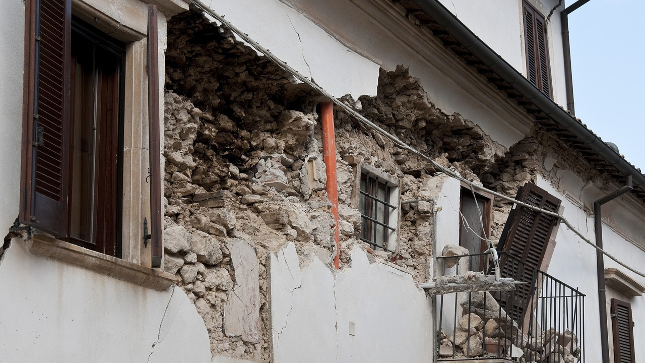
A 3.8-magnitude earthquake struck near the Maine coast on the morning of January 27, causing tremors across northern New England and reaching as far as Pennsylvania. The seismic event occurred at approximately 10:22 a.m. and was centered about six miles (10 kilometers) southeast of York Harbor, Maine, at a depth of eight miles (13 kilometers), according to the United States Geological Survey (USGS). Residents across multiple states reported feeling the vibrations, which led to momentary disruptions and heightened concern. In southern Maine, individuals experienced pronounced shaking, with many initially mistaking the tremors for other disturbances such as a vehicular accident or an explosion. Social media platforms quickly became a conduit for sharing experiences and confirming the nature of the event.
Authorities initiated assessments following the earthquake to determine any structural damage or injuries. The Maine Emergency Management Agency advised residents to contact emergency services only in cases of actual necessity. Officials confirmed that no significant damage or casualties had been reported. In New Hampshire, the Department of Safety similarly indicated that emergency calls had not included reports of injuries or compromised infrastructure. Seismologists noted that while earthquakes of this magnitude are uncommon in the northeastern United States, they are not without precedent. Historical records highlight previous notable seismic events, including a 4.7-magnitude earthquake near Hollis Center, Maine, in 2012, and a 5.1-magnitude tremor in upstate New York in 2002. The USGS encouraged residents who experienced the earthquake to submit reports on its website to assist in data collection and further research on seismic activity in the region.
Authorities initiated assessments following the earthquake to determine any structural damage or injuries. The Maine Emergency Management Agency advised residents to contact emergency services only in cases of actual necessity. Officials confirmed that no significant damage or casualties had been reported. In New Hampshire, the Department of Safety similarly indicated that emergency calls had not included reports of injuries or compromised infrastructure. Seismologists noted that while earthquakes of this magnitude are uncommon in the northeastern United States, they are not without precedent. Historical records highlight previous notable seismic events, including a 4.7-magnitude earthquake near Hollis Center, Maine, in 2012, and a 5.1-magnitude tremor in upstate New York in 2002. The USGS encouraged residents who experienced the earthquake to submit reports on its website to assist in data collection and further research on seismic activity in the region.
Discussion Questions:
I will read each question. Then, please answer them.
- Have you ever experienced an earthquake before? If so, what did you do? If not, what would you do if you felt one?
- Have you ever been in a situation where social media helped you confirm information? If so, what was it about? If not, how do you usually verify important news?
- Do you agree that people rely too much on social media for information during emergencies?
- Why do you think some regions experience frequent earthquakes while others do not?
- How can communities improve their emergency response to natural disasters like earthquakes?
Summarization
Please summarize the whole article using your own words and expressions. You will have one minute to prepare before you answer.
Describe:
Please explain the definition of each word listed below based on your understanding. You can provide example sentences if needed.
- resident
- initially
- injury
- encourage
- region